North America Geology
The oldest stable core (kraton) of the North American continent is formed by a large pre-Cambrian-Cambrian continent, Laurentia, where the bedrock is today exposed in the Canadian Shield and in Greenland, while in the inner parts (Interior Platform) is covered by younger deposits and basins. The core area is in the north, east and south surrounded by Paleozoic folding belts, which are shot over the craton in the Ellesmeric Folding Belt in northernmost Canada and Greenland, NE-Greenland’s Caledonian folding belt, the Appalachians and the Ouachita Mountains. The North American mountain ranges west of the craton developed from the Mesozoic and Tertiary, as seabed dispersal in the then Pacific Ocean led several ocean plates diagonally toward subduction zones off the west coast of North America. Accompanied crust fragments from island arcs and volcanic plateaus and scraped seabed formations were displaced along the coast and united with the continent. From the subduction zones intermediate to acidic magmas pushed up and solidified in large intrusions (batholither), in the Sierra Nevada, and gave rise to violent volcanic eruptions. Several volcanoes remain active (eg in the Cascade Range and the Alaska-Aleutians). In the Tertiary, the lateral displacement and compression of the coastal chains continued; in the Basin Range province (Great Basin), stretching of the earth’s crust (extension) occurred with slippage of large crust sections and widespread block rejection as a result. In the Columbia-Snake-River area and in Mexico, the fold mountains are overlain by thick basaltic lava series. The Colorado Plateau (Grand Canyon) is an isolated remnant of the craton. In the eastern Rocky Mountains, depression and foreland deposits have erupted over the Interior Platform.

Now the Pacific plate itself is lowered into the subduction zone below Alaska and the Aleuter arch, and south of 50 ° the scattering zone is close to or below the continent and is divided by large transform faults. The zone is displaced laterally along the San Andreas Fault, which has extended it to the Gulf of California. Here it has “split” the California Peninsula off the North American plate. Mexico’s and Central America’s Cordilleras branch off into the Andes Mountains of South America and the West Indies, where a subduction zone leads the ocean floor from the Atlantic Ocean down below the Caribbean Plate.
Where the North American continent borders the Arctic Ocean, the Atlantic Ocean, the Strait of Davis and the Gulf of Mexico, passive margins have been developed since the Mesozoic, where thick deposits of material from land (clastic sediments) and carbonates have been deposited on the continental shelf. Under the Gulf of Mexico and the coastal plain north of it, evaporites from the Jurassic (approximately 206-142 million years) form a large salt- horned province.
Mineral raw materials
According to Countryaah, North America has three countries, all of which are rich in mineral resources. The central shield has taped iron ores at Lake Superior and some of the world’s largest greenstone belts with gold deposits, Homestake, at Kirkland Lake, as well as massive sulfide deposits (Kidd Creek). On the shield is also the world’s largest nickel deposit, Sudbury. The Paleozoic folding belts have in the north Elmeric lead and zinc deposits, Polaris, and in the east there are Appalachian solid sulfide deposits, Ducktown. Large sedimentary deposits are widespread; examples are uranium in sandstone in the Colorado Plateau and Key Lake, copper, lead and zinc in clastic sediments (Sullivan, Red Dog) and lead zinc in carbonate rocks, the so-called Mississippi Valley type, in Tennessee. The Mesozoic and Tertiary fold chain along the west coast of North America has a wealth of mineral deposits, including porphyry deposits with copper (Bingham Canyon, Bisbee) and with molybdenum (Climax) as well as gold deposits in Nevada. Heavy sand deposits are known from the golden fever days in California, Alaska and the Yukon. North America is also a major producer of industrial minerals such as borax from Death Valley.
North America – wildlife
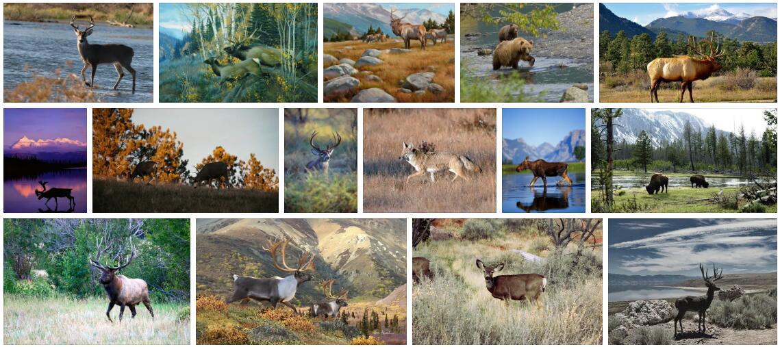
To the north, in Canada and Alaska, there are many circumpolar animal species that are also known from Europe and Siberia, such as polar bears, brown bears, wolves, wolverines, moose and reindeer and red deer, which in North America are called respectively. caribou and wapiti.
Further south, the North American fauna is reminiscent of the European and temperate Asian fauna: although often different species, they are closely related. This similarity is the reason why all these northern areas belong to the same animal geographical region, the Holarctic region (see also the near-Arctic region).
However, North America also houses species that have immigrated from South America via the Panama Sea and that do not have close relatives in Europe and Asia, such as marsupials and armadillos. The puma is found all the way from southwestern Canada to the southernmost part of South America.
Humans have greatly affected North American wildlife. The decline of bison is well known and many other species are also in need. Among the birds, several have become extinct, such as labradorand (1875), migratory pigeon (1914) and Carolina parakeet (1914). On the other hand, a large number of species have been introduced from Europe on purpose or by chance, and they now constitute conspicuous elements in the fauna. This applies, for example, to starlings and numerous species of invertebrates.
North America – plant growth
Farthest to the north is the Arctic tundra, and south of this a wide boreal coniferous forest belt, reminiscent of the corresponding zone in Europe and Siberia. Here, species of spruce, Norway spruce and larch dominate, and large areas are covered with marshes and bogs. Along the west coast from Southern Alaska to Northern California are moist, species-rich coniferous forests with some of the world’s tallest trees (including douglas fir and redwood). Coniferous forest also occurs in the mountainous areas of western North America, where especially many species of pine are prominent.
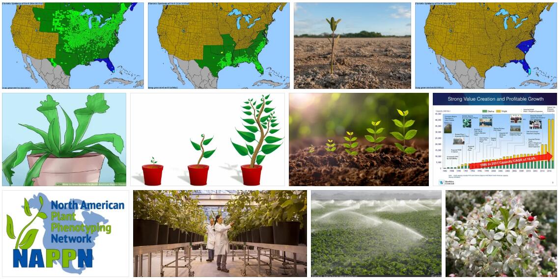
In the eastern parts of the continent the boundary between the tundra and coniferous forest goes further south and lies in Labrador at about 53 ° 30 ‘n.br. Around the Great Lakes and in the New England states, the natural vegetation is mixed forests of a type reminiscent of the forests of central Scandinavia, though with several species. Many herbaceous plants in these areas are identical or closely related to European species. In the eastern and central United States, species-rich deciduous forests are found; here occur species of oak, ash, walnut, chestnut, hickory, tulip tree and (in the Southern States) magnolia.
The areas between the deciduous forests in the east and the Rocky Mountains in the west are naturally forestless steppe, prairie. In the east, where the annual rainfall is 500-900 mm, tall, perennial grasses dominate in the genera Stipa, Andropogon, Sporobolus, etc .; in the rain shadow of the Rocky Mountains, short grass prairies with lower grass species and even small cacti occur. The prairie is now for the most part cultivated with corn and wheat.
In California, where the climate is Mediterranean, vegetation types reminiscent of the Mediterranean, such as chaparral, similar to maki occur; the area is rich in species and has many endemic species. The arid areas of the southwestern United States and northwestern Mexico are dominated by cactus, agave, yucca, and other succulent plants. In Mexico, there are partly northern elements, e.g. many species of oak and pine, partly tropical vegetation types, from rainforest to desert.
North America – Climate
With its vast extent from north to south, the continent spans all climate zones: polar climate in northern Canada, Alaska and Greenland, temperate in most of Canada and the United States, subtropical in Mexico and tropical in Florida, the Caribbean and southernmost Mexico. The central parts of the continent have a distinct mainland climate with very cold winters and hot summers.
Winter is often characterized by a pronounced high pressure over the western regions of the continent. The winds around this high pressure carry cold air down over especially the eastern United States. The north-south mountain ranges Rocky Mountains and the Appalachians cut off the interior of the country from mild air masses from the coast, and with their orientation they can not prevent the cold air from penetrating far to the south. This is why the boundary between temperate and subtropical climates in the United States follows the 10 ° isotherm for the coldest month, while in Europe and Asia it follows significantly lower temperatures.
In the Atlantic Ocean, tropical storms occur near the equator each year, drawing in over the Gulf of Mexico. At intervals, they hit the southern coastal areas of the United States, causing great devastation.